
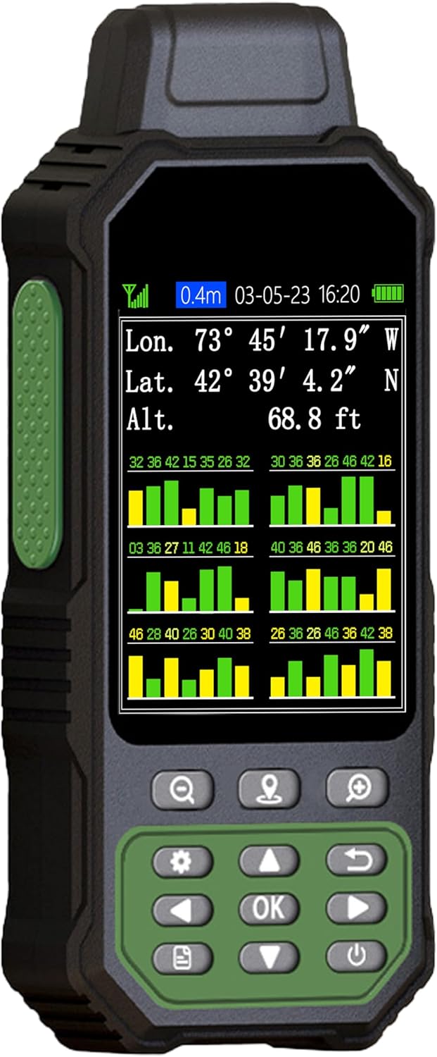
ZL190PLUS Land Surveying Equipment, Handheld GPS for Surveying with 3.2 Inch Color Screen, Multi-GNSS Support, 7 Measuring Models for Measuring Land Area, Length,Slope and Save Coordinates Points
€52.80
Preis bei Onlinekauf
Kostenloser Versand
30 Tage kostenlose Rückgabe
Verkauft und versendet von www.2connecttogether.nl
Wir bemühen uns, Ihnen genaue Produktinformationen anzuzeigen. Hersteller, Lieferanten und andere stellen die hier gezeigten Angaben bereit.
€52.80
Preis bei Onlinekauf
Kostenloser Versand
30 Tage kostenlose Rückgabe
Verkauft und versendet von www.2connecttogether.nl
30 Tage kostenlose Rückgabe Details
Produktdetails
| Artikelnummer | 212343177 | Erscheinungsdatum | 2026/04/06 | Listenpreis | €52.80 | Modellnummer | 212343177 | ||
|---|---|---|---|---|---|---|---|---|---|
| Kategorie | |||||||||
- Large Screen:Large 3.2" sunlight-readable color display with 240 x 320 display pixels for improved readability,even in bright sunlight
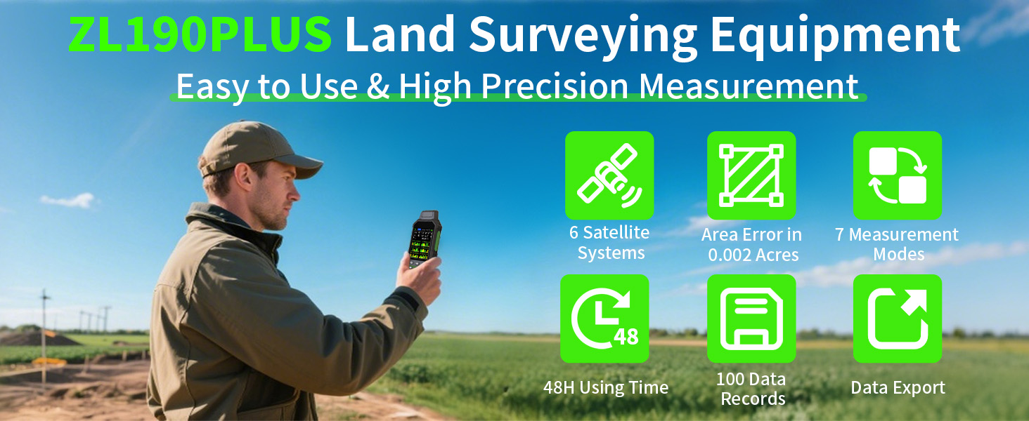
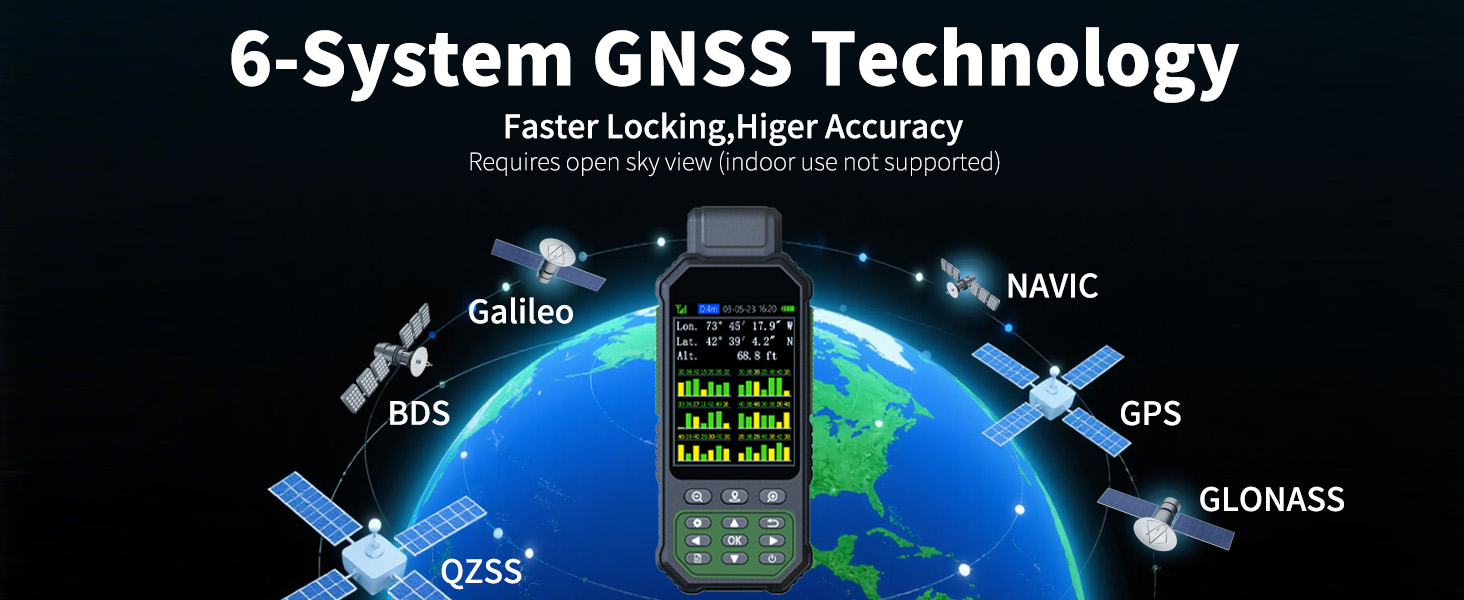
- Professinal Accuracy: Supports 6 satellite systems (GPS, Beidou, Galileo,GLONASS, NAVIC and QZSS ) for high presion measurement, area error < 0.002 acres,distance error < 5 ft
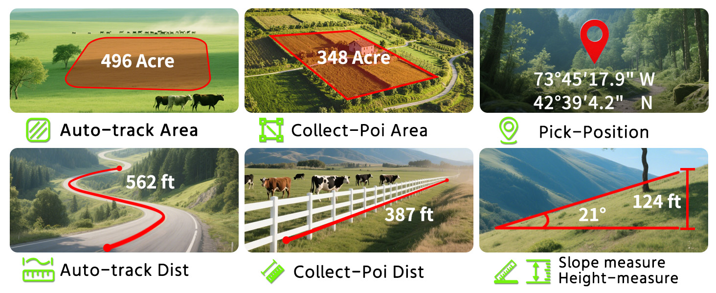
- 7 Measurement Modes: Supports area measurement of irregular and regular terrain such as ranches, garden; length measurement of straight and curved lines, height and slope measurement, and can also save the coordinate points of the current position (can only save coordinates, cannot be modified)
- Rugged With Long Battery Life: IP65-rated for superior durability; powered by internal 4000 mAh Li-ion rechargeable battery, up to 48 hours in continuous use
- How to Use: Intuitive user interface with backlit buttons for quick and easy operation. The device needed to be held horizontal for taking measurements. Recommended to measure an area above 0.16 acres and distance above 328 ft. The larger the measurement range, the smaller the error
- Note: Please search satellite signals in an uncovered sky before using. When the signal value in the upper left corner of the machine screen is below 1 m, start using to ensure the accuracy of the machine. This machine can only be used for surveying and cannot be used for navigation! The altitude data displayed on the device is GPS altitude, which fluctuates with changes in the satellite signals received. This is normal
| Brand | NiesahYan |
|---|---|
| Map Types | Satellite |
| Model Name | ZL190PLUS |
| Sport Type | Outdoor Lifestyle |
| Item Weight | 7.84 ounces |
| Screen Size | 3.2 Inches |
| Display Type | LCD |
| Manufacturer | NiesahYan |
| BuiltIn Media | Portable Rope, USA Plug, USB cable, User Manual |
| Mounting Type | Handheld |
| Control Method | Push Button |
| Touch Screen Type | Capacitive |
| Compatible Devices | Personal Computer |
| Additional Features | 48 hours using time, 7 measurement modes, Large 3.2" color display, Upgrade 6 satellite support for high precision |
| Battery Average Life | 48 Hours |
| HumanInterface Input | Buttons |
| Warranty Description | 2 year manufacture |
| Are Batteries Included | No |
| Connectivity Technology | USB |
| Item Dimensions L x W x H | 2"L x 1"W x 6"H |
Korrektur der Produktinformationen
Wenn Sie Unvollständigkeiten oder Fehler in den Produktinformationen auf dieser Seite bemerken, nutzen Sie bitte das Korrekturformular unten.
Korrekturanfrage