
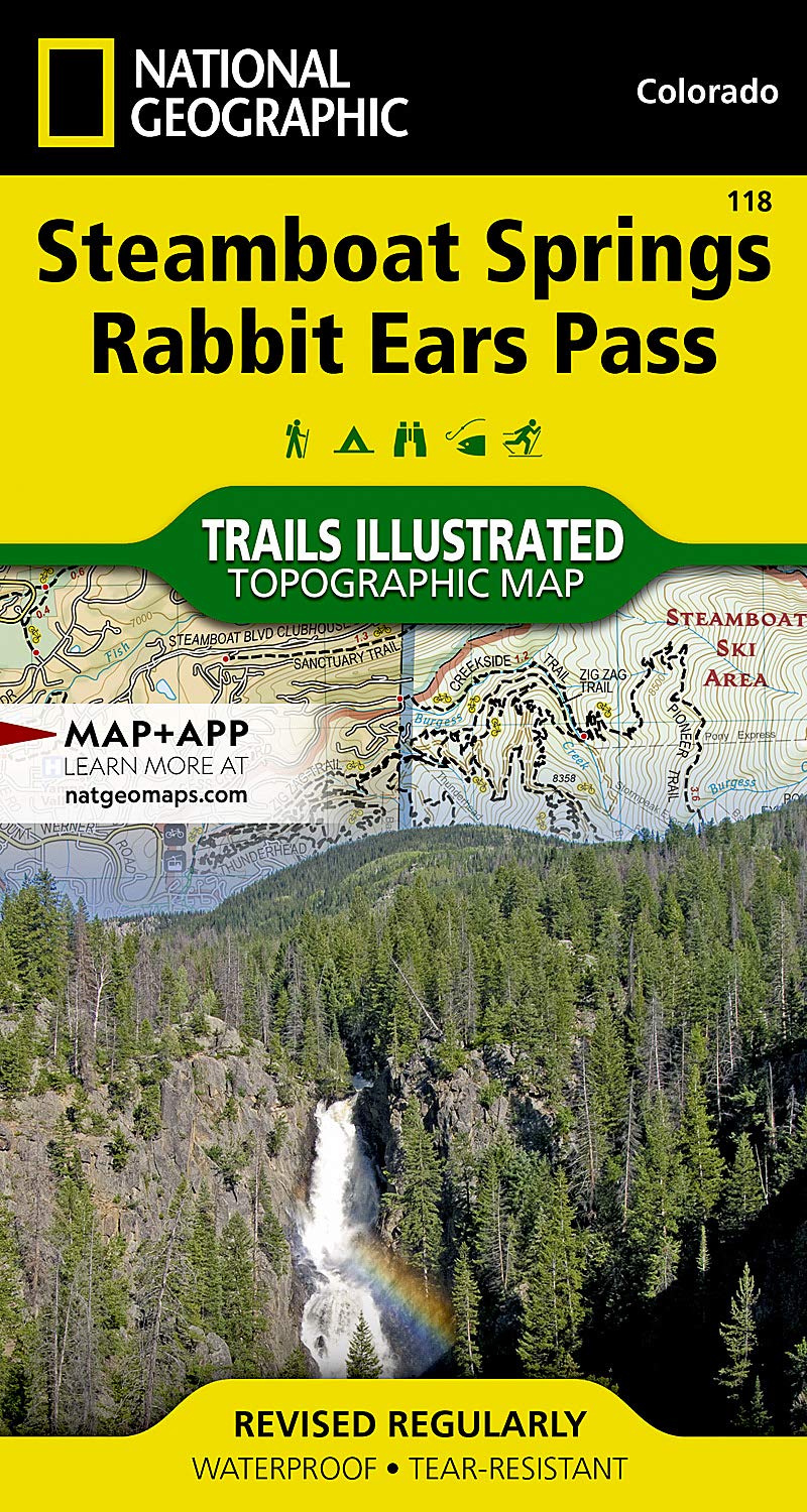
Steamboat Springs, Rabbit Ears Pass Map (National Geographic Trails Illustrated Map, 118) | Books
Produktdetails
| Artikelnummer | 236919806 | Erscheinungsdatum | 2026/07/10 | Listenpreis | €5.25 | Modellnummer | 236919806 | ||
|---|---|---|---|---|---|---|---|---|---|
| Kategorie | |||||||||
• Waterproof • Tear-Resistant • Topographic MapKnown internationally as winter ski destination, Steamboat Springs is also highly regarded for its many summer recreation opportunities, particularly biking. National Geographic's Trails Illustrated map of Steamboat Springs and Rabbit Ears Pass delivers unmatched detail and valuable information to assist you in year-round exploration of this exciting region. Expertly researched and created in partnership with local land management agencies, this map features key points of interest including Stagecoach and Fish Creek reservoirs; Steamboat Ski Area; Yampa River; Sarvis Creek Wilderness; the cities of Steamboat Springs, Oak Creek andMuddy Pass; and a portion of the Continental Divide Trail.Regardless of whether you're hiking, biking, cross-country skiing, or snowmobiling, this map will have the trail clearly marked according to use. The map base includes contour lines and elevations for summits, passes and many lakes. Recreation features are noted as well, including campgrounds, trailheads, interpretive trails, fishing areas, boat launches, and swimming and waterski areas.Every Trails Illustrated map is printed on "Backcountry Tough" waterproof, tear-resistant paper. A full UTM grid is printed on the map to aid with GPS navigation.Other features found on this map include: Arapaho National Forest, Routt National Forest, Sarvis Creek Wilderness, Steamboat Springs.Map Scale = 1:40,680Sheet Size = 22" x 32"Folded Size = 4" x 7.5" Read more
| ISBN10 | 1566953383 |
|---|---|
| ISBN13 | 978-1566953382 |
| Edition | 2020th |
| Language | English |
| Publisher | Natl Geographic Society Maps |
| Dimensions | 3.9 x 0.6 x 7.2 inches |
| Item Weight | 2.4 ounces |
| Print length | 2 pages |
| Publication date | July 15, 2020 |
Korrektur der Produktinformationen
Wenn Sie Unvollständigkeiten oder Fehler in den Produktinformationen auf dieser Seite bemerken, nutzen Sie bitte das Korrekturformular unten.
KorrekturanfrageKundenbewertungen
Für dieses Produkt liegen derzeit keine schriftlichen Bewertungen vor.